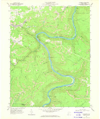
1969 Map of Thurmond
USGS Topo · Published 1973About this map
New River meanders deeply through the heart of the West Virginia coalfields in this late 1960s survey, anchoring a landscape defined by vertical relief and heavy industry. The Chesapeake and Ohio railroad tracks follow the river's tight bends, serving a string of narrow riverside settlements including Thurmond, Stone Cliff, and Quinnimont. Away from the water, the terrain rises sharply toward Sewell Mountain and Garden Ground Mountain, where the land is heavily marked by strip mines, mine dumps, and numerous unnamed mine portals. The map captures the specialized infrastructure of the era, from a conveyor tipple near Hamilton Branch to the substation at Brooklyn. Local life is recorded through family-linked landmarks like Calvin Church and Mollys Creek, alongside the established boundaries of Babcock State Park in the northeast corner.
Find a feature on this map
63 named features on this map. Tap any name to fly to it.
Don’t see what you’re looking for? This feature index may not catch every label — zoom into the map to look around manually.
Map Details
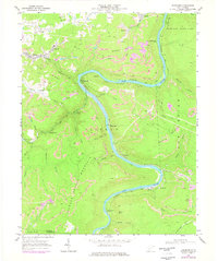
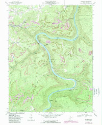
Editions of this 1969 Thurmond Map
3 editions found
Other maps of this area

1887 · Hinton
USGS Topo · 1:125,000

1889 · Nicholas
USGS Topo · 1:125,000

1891 · Nicholas
USGS Topo · 1:125,000

1891 · Raleigh
USGS Topo · 1:125,000

1892 · Hinton
USGS Topo · 1:125,000

1897 · Kanawha Falls
USGS Topo · 1:125,000

1897 · Raleigh
USGS Topo · 1:125,000

1900 · Kanawha Falls
USGS Topo · 1:125,000

1901 · Nicholas
USGS Topo · 1:125,000

1901 · Kanawha Falls
USGS Topo · 1:125,000