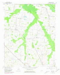
1964 Map of Tibbs
USGS Topo · Published 1981About this map
The S Fk Forked Deer R snakes through the northern reaches of Haywood County, defining a landscape defined by its creek valleys and rural schoolhouses. In the mid-1960s, this area was anchored by small crossroads such as Tibbs and Christmasville, where social life centered on community landmarks like Antioch Ch and Hickory Grove Sch. The topography is etched by drainage patterns from Nixon Creek and Briar Creek, creating a network of ridges where long-established lanes like Tibbs Brownsville Road connected dispersed farmsteads.
Find a feature on this map
30 named features on this map. Tap any name to fly to it.
Don’t see what you’re looking for? This feature index may not catch every label — zoom into the map to look around manually.
Map Details
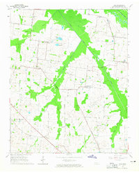
Editions of this 1964 Tibbs Map
2 editions found
Other maps of this area

1939 · Halls
USGS Topo · 1:62,500

1950 · Sunnyhill
USGS Topo · 1:24,000

1950 · Brownsville
USGS Topo · 1:24,000

1951 · Brownsville
USGS Topo · 1:24,000

1951 · Sunnyhill
USGS Topo · 1:24,000

1952 · Gates
USGS Topo · 1:24,000

1952 · Chestnut Bluff
USGS Topo · 1:24,000

1956 · Blytheville
USGS Topo · 1:250,000

1959 · Blytheville
USGS Topo · 1:250,000

1961 · Jones
USGS Topo · 1:24,000