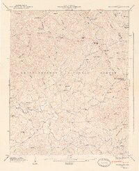
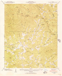
1947 Map of Tickanetley
USGS Topo · Published 1947About this map
Tickanetley and the high ridges of the Chattahoochee National Forest dominate this 1947 topographic study of the Gilmer and Fannin county line. The landscape is defined by the Blue Ridge Divide and the course of the Cartecay River, where small mountain communities and rural institutions supported local life before mid-century modernization. Researchers will find a high density of educational and religious landmarks, including the Mathis Chapel School, New Liberty Ch, and the Twiggs Sch.
Find a feature on this map
90 named features on this map. Tap any name to fly to it.
Don’t see what you’re looking for? This feature index may not catch every label — zoom into the map to look around manually.
Map Details
Editions of this 1947 Tickanetley Map
2 editions found
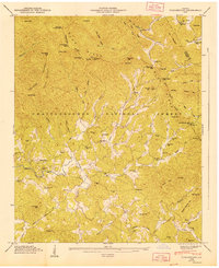
Other maps of this area

1888 · Ellijay
USGS Topo · 1:125,000

1892 · Ellijay
USGS Topo · 1:125,000

1898 · Ellijay
USGS Topo · 1:125,000

1911 · Ellijay
USGS Topo · 1:125,000

1935 · Noontootla
USGS Topo · 1:24,000
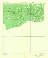
1935 · Cashes Valley
USGS Topo · 1:24,000

1935 · Lake Toccoa
USGS Topo · 1:24,000

1935 · Tickanetley
USGS Topo · 1:24,000
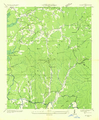
1935 · Wilscot
USGS Topo · 1:24,000
1946 · Tickanetley
USGS Topo · 1:24,000