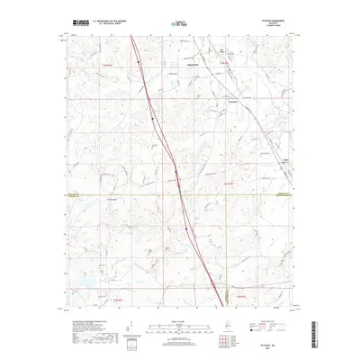
2018 Map of Tie Plant
USGS Topo · Published 2018About this map
Tie Plant and the surrounding hill country south of Grenada are documented in this detailed 2018 survey, capturing the landscape where Grenada, Carroll, and Montgomery counties converge. The area is defined by a dense network of watercourses, including Batupan Bogue to the east and the winding Perry Cr to the west. Settlement is concentrated along the primary corridors of Commerce St and Carrollton Rd, connecting the communities of Glenwild and Elliott.
Find a feature on this map
103 named features on this map. Tap any name to fly to it.
Don’t see what you’re looking for? This feature index may not catch every label — zoom into the map to look around manually.
Map Details
Editions of this 2018 Tie Plant Map
This is the sole edition of this map. No revisions or reprints were ever made.
Other maps of this area
1953 · West Point
USGS Topo · 1:250,000
1954 · Grenada
USGS Topo · 1:62,500
1954 · Duck Hill
USGS Topo · 1:62,500
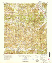
1954 · McCarley
USGS Topo · 1:62,500
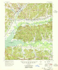
1955 · Coffeeville
USGS Topo · 1:62,500
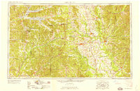
1958 · West Point
USGS Topo · 1:250,000
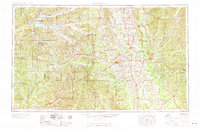
1963 · West Point
USGS Topo · 1:250,000
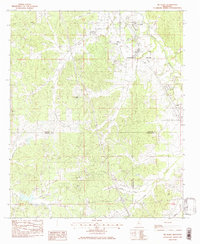
1983 · Tie Plant
USGS Topo · 1:24,000
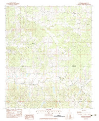
1983 · Jefferson
USGS Topo · 1:24,000
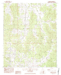
1983 · Eskridge
USGS Topo · 1:24,000