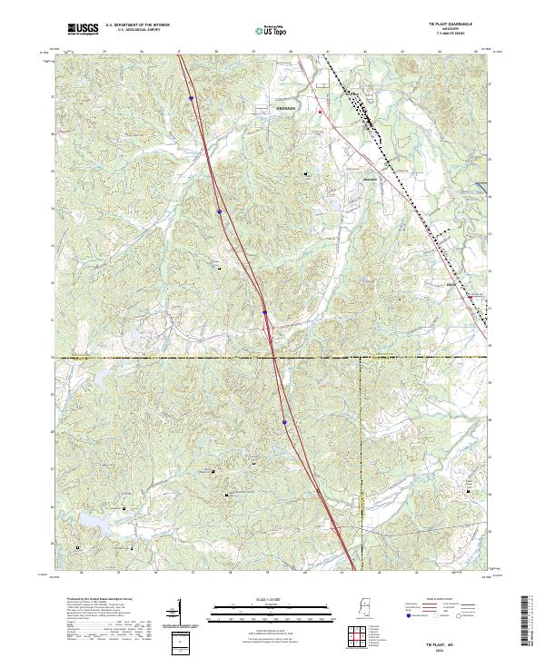
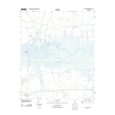
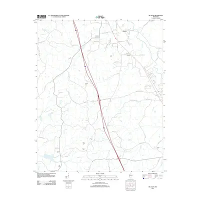
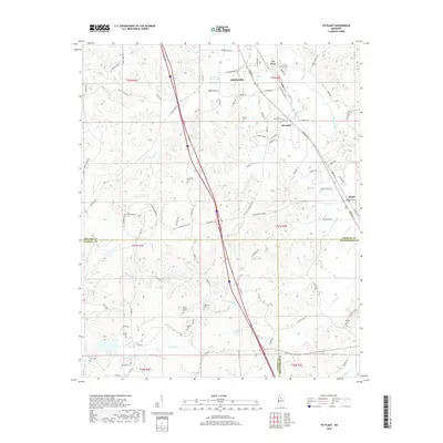
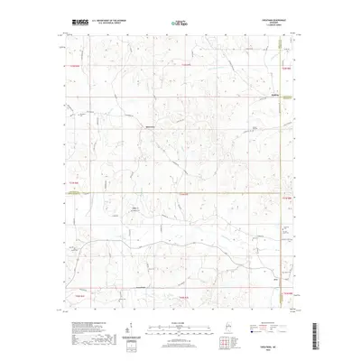
2024 Map of Tie Plant
USGS Topo · Published 2024About this map
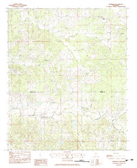
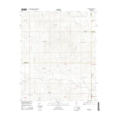
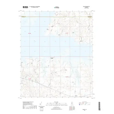
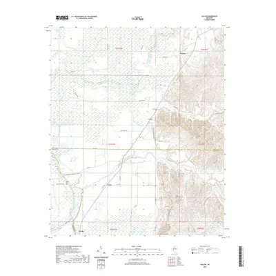
Tie Plant and the nearby community of Glenwild are situated just south of the Yalobusha County line, where the landscape transitions into the hills of north-central Mississippi. This area is characterized by a high concentration of historic burial grounds, including Hardiman Cem, Payne Chapel Cem, and Calvary Cem, suggesting a long-standing rural settlement pattern defined by family and church lineages. The western edge of NG CTA Camp McCain occupies the eastern portion of the map, while the small settlement of Elliott serves as a junction near the county boundaries.
Find a feature on this map
114 named features on this map. Tap any name to fly to it.
Don’t see what you’re looking for? This feature index may not catch every label — zoom into the map to look around manually.
Map Details
Editions of this 2024 Tie Plant Map
This is the sole edition of this map. No revisions or reprints were ever made.
Historical Maps of Grenada Through Time
37 maps found
1974 Greenwood NE
Grenada County, MS
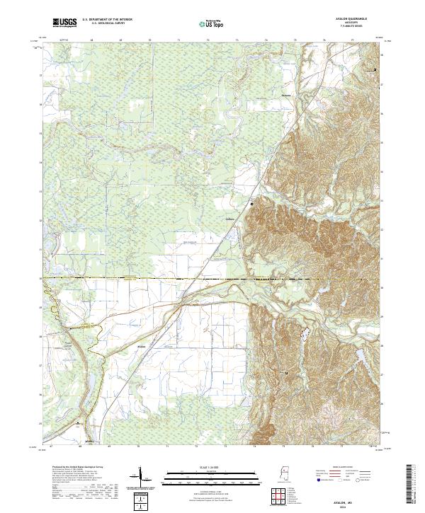
1982 Avalon
Grenada County, MS
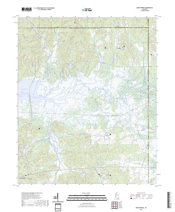
1983 Gore Springs
Grenada County, MS
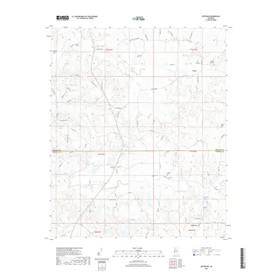
1983 Jefferson
Grenada County, MS

1983 Kincaid
Grenada County, MS
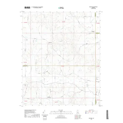
1983 Sweatman
Grenada County, MS
1983 Tie Plant
Grenada County, MS
2012 Avalon
Grenada County, MS
2012 Gore Springs
Grenada County, MS
2012 Jefferson
Grenada County, MS
2012 Kincaid
Grenada County, MS
2012 Sweatman
Grenada County, MS
2012 Tie Plant
Grenada County, MS
2015 Avalon
Grenada County, MS

2015 Gore Springs
Grenada County, MS
2015 Jefferson
Grenada County, MS
2015 Kincaid
Grenada County, MS
2015 Sweatman
Grenada County, MS
2015 Tie Plant
Grenada County, MS
2018 Avalon
Grenada County, MS
2018 Gore Springs
Grenada County, MS
2018 Jefferson
Grenada County, MS
2018 Kincaid
Grenada County, MS
2018 Sweatman
Grenada County, MS
2018 Tie Plant
Grenada County, MS
2020 Avalon
Grenada County, MS
2020 Gore Springs
Grenada County, MS
2020 Jefferson
Grenada County, MS
2020 Kincaid
Grenada County, MS
2020 Sweatman
Grenada County, MS
2020 Tie Plant
Grenada County, MS
2024 Avalon
Grenada County, MS
2024 Gore Springs
Grenada County, MS
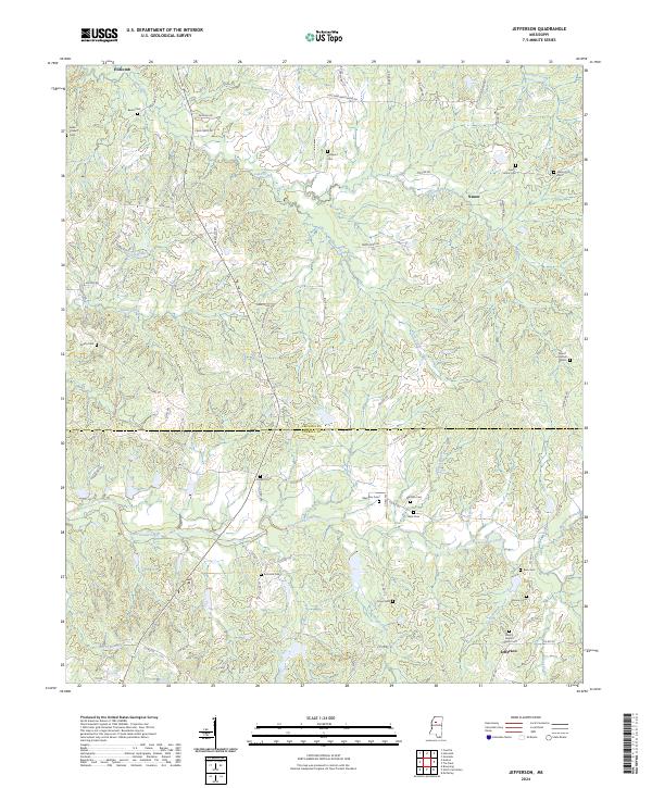
2024 Jefferson
Grenada County, MS
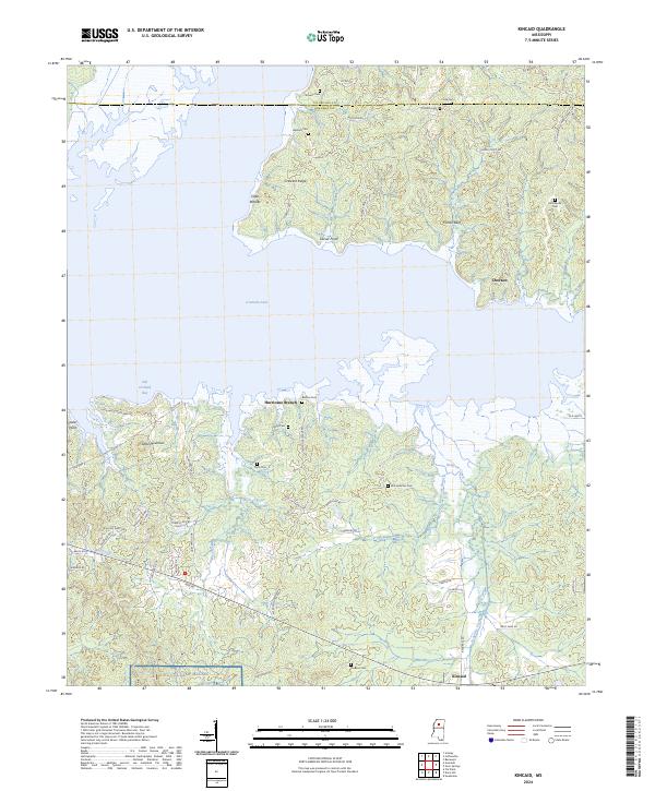
2024 Kincaid
Grenada County, MS
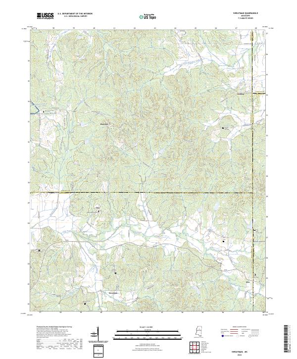
2024 Sweatman
Grenada County, MS
2024 Tie Plant
Grenada County, MS