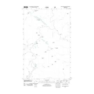
2011 Map of Tiffany Mountain
USGS Topo · Published 2011About this map
Tiffany Mountain and the surrounding high-elevation terrain of Okanogan County define this landscape at the start of the 21st century. The map documents a network of Forest Service roads, including Route 39 and NFD 3820 Road, which provide access to remote landmarks such as the Bernhardt Mine and Tiffany Spring Campground. This era shows a clear focus on recreational and resource management, with numerous named meadows like Parachute Meadow and South Twentymile Meadows interspersed among the peaks. Water sources are abundant throughout the high country, from the headwaters of Sinlahekin Creek to alpine basins like Whistler Basin. The presence of established routes through gaps such as Honeymoon Pass and Whistler Pass illustrates the continued importance of these traditional mountain crossings for both backcountry travel and fire management within the national forest system.
Find a feature on this map
50 named features on this map. Tap any name to fly to it.
Don’t see what you’re looking for? This feature index may not catch every label — zoom into the map to look around manually.
Map Details
Editions of this 2011 Tiffany Mountain Map
This is the sole edition of this map. No revisions or reprints were ever made.
Other maps of this area
1906 · Chopaka
USGS Topo · 1:125,000

1954 · Okanogan
USGS Topo · 1:250,000

1955 · Concrete
USGS Topo · 1:250,000
1956 · Tiffany Mountain
USGS Topo · 1:62,500
1956 · Horseshoe Basin
USGS Topo · 1:62,500

1958 · Concrete
USGS Topo · 1:250,000

1958 · Okanogan
USGS Topo · 1:250,000

1962 · Concrete
USGS Topo · 1:250,000
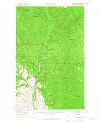
1963 · Doe Mountain
USGS Topo · 1:62,500
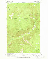
1969 · Coleman Peak
USGS Topo · 1:24,000