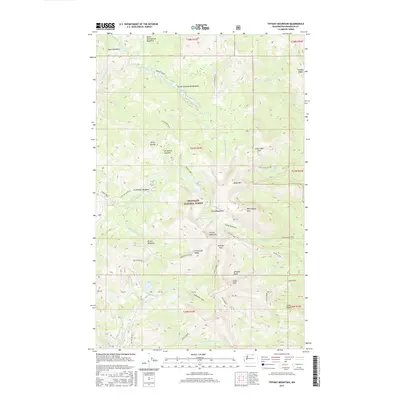
2017 Map of Tiffany Mountain
USGS Topo · Published 2017About this map
Okanogan National Forest dominates this high-elevation landscape, where the summit of Tiffany Mountain serves as a central anchor for the surrounding peaks and ridges. The presence of the Bernhardt Mine near the headwaters of Bernhardt Cr points to the area's mineral exploration history, while a complex network of forest roads, including Nat For Dev Rd 39, provides access through the steep terrain. This 2017 survey details a landscape defined by significant elevation changes, from the alpine heights of Clark Peak and Mid Tiffany Mtn down to the basins of Tiffany Lake and Roger Lake. The drainage patterns are clearly defined by numerous tributaries such as Smarty Cr and N Fork Salmon Cr, which carve through features like Freezeout Ridge and the Whistler Basin. Broad subalpine openings, such as North Twentymile Meadows and South Twentymile Meadows, contrast with the narrow passes that navigate the ridgelines.
Find a feature on this map
64 named features on this map. Tap any name to fly to it.
Don’t see what you’re looking for? This feature index may not catch every label — zoom into the map to look around manually.
Map Details
Editions of this 2017 Tiffany Mountain Map
This is the sole edition of this map. No revisions or reprints were ever made.
Other maps of this area
1906 · Chopaka
USGS Topo · 1:125,000

1954 · Okanogan
USGS Topo · 1:250,000

1955 · Concrete
USGS Topo · 1:250,000
1956 · Tiffany Mountain
USGS Topo · 1:62,500
1956 · Horseshoe Basin
USGS Topo · 1:62,500

1958 · Concrete
USGS Topo · 1:250,000

1958 · Okanogan
USGS Topo · 1:250,000

1962 · Concrete
USGS Topo · 1:250,000
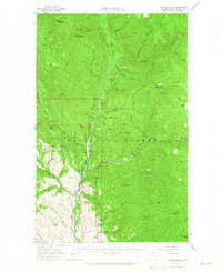
1963 · Doe Mountain
USGS Topo · 1:62,500
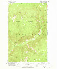
1969 · Coleman Peak
USGS Topo · 1:24,000