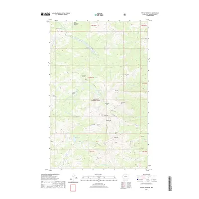
2020 Map of Tiffany Mountain
USGS Topo · Published 2020About this map
Okanogan National Forest encompasses this high-elevation landscape, where the peaks of the North Cascades define the drainage patterns for numerous creeks. The terrain is marked by prominent summits including Tiffany Mtn, Mid Tiffany Mtn, and Clark Peak, interconnected by a series of high-altitude crossings such as Whistler Pass, Honeymoon Pass, and Lone Frank Pass. These passes provided essential transit routes through the difficult topography for early forest rangers and travelers.
Find a feature on this map
55 named features on this map. Tap any name to fly to it.
Don’t see what you’re looking for? This feature index may not catch every label — zoom into the map to look around manually.
Map Details
Editions of this 2020 Tiffany Mountain Map
This is the sole edition of this map. No revisions or reprints were ever made.
Other maps of this area
1906 · Chopaka
USGS Topo · 1:125,000

1954 · Okanogan
USGS Topo · 1:250,000

1955 · Concrete
USGS Topo · 1:250,000
1956 · Tiffany Mountain
USGS Topo · 1:62,500
1956 · Horseshoe Basin
USGS Topo · 1:62,500

1958 · Concrete
USGS Topo · 1:250,000

1958 · Okanogan
USGS Topo · 1:250,000

1962 · Concrete
USGS Topo · 1:250,000
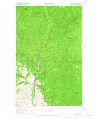
1963 · Doe Mountain
USGS Topo · 1:62,500
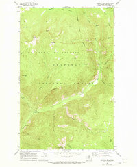
1969 · Coleman Peak
USGS Topo · 1:24,000