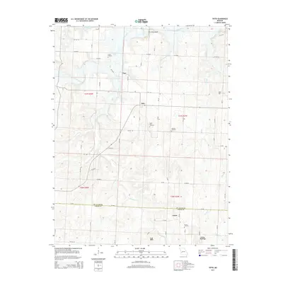
2015 Map of Tiffin
USGS Topo · Published 2015About this map
The Osage River flows across the northern reaches of this rural landscape, carving past Rock House Bluff as it winds through St. Clair County. Small agricultural settlements like Tiffin, Pape, and Lebeck serve as the primary nodes of habitation, connected by a network of rural roads such as Mo-DD and SW 800 RD. The terrain is defined by the winding paths of Little Clear Cr and Clear Creek, which drain the undulating countryside toward the river valley. To the south, the village of Cedar Springs sits near the county line, while landmarks like Oyer Hill and Coal Hill break the horizon.
Find a feature on this map
62 named features on this map. Tap any name to fly to it.
Don’t see what you’re looking for? This feature index may not catch every label — zoom into the map to look around manually.
Map Details
Editions of this 2015 Tiffin Map
This is the sole edition of this map. No revisions or reprints were ever made.
Other maps of this area

1886 · Nevada
USGS Topo · 1:125,000

1886 · Stockton
USGS Topo · 1:125,000

1887 · Clinton
USGS Topo · 1:125,000

1887 · Butler
USGS Topo · 1:125,000

1894 · Butler
USGS Topo · 1:125,000

1894 · Nevada
USGS Topo · 1:125,000

1894 · Clinton
USGS Topo · 1:125,000

1934 · Rockville
USGS Topo · 1:24,000

1937 · Tiffin
USGS Topo · 1:31,680

1938 · Monegaw Springs
USGS Topo · 1:24,000