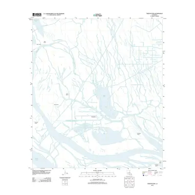
2012 Map of Tiger Island
USGS Topo · Published 2012About this map
Duck Lake Oil and Gas Field serves as a central industrial anchor in this 2012 survey of the Saint Martin Parish wetlands. The landscape is defined by an intricate network of narrow waterways and bayous, including Little Bayou Long and Campers Bayou, which weave around substantial landmasses like Tiger Island and Fisher Island. This area of the Atchafalaya Basin demonstrates a complex hydrological system where larger bodies like Duck Lake and Wilson Cove are connected by numerous passes such as Keelboat Pass and American Pass.
Find a feature on this map
30 named features on this map. Tap any name to fly to it.
Don’t see what you’re looking for? This feature index may not catch every label — zoom into the map to look around manually.
Map Details
Editions of this 2012 Tiger Island Map
This is the sole edition of this map. No revisions or reprints were ever made.
Other maps of this area

1935 · Morgan City
USGS Topo · 1:62,500

1941 · Belle Isle
USGS Topo · 1:62,500

1945 · New Orleans
USGS Topo · 1:250,000

1948 · Foster
USGS Topo · 1:62,500

1953 · Napoleonville
USGS Topo · 1:62,500

1954 · Morgan City
USGS Topo · 1:62,500

1954 · Belle Isle
USGS Topo · 1:62,500

1959 · Foster
USGS Topo · 1:62,500

1963 · New Orleans
USGS Topo · 1:250,000

1966 · New Orleans
USGS Topo · 1:250,000