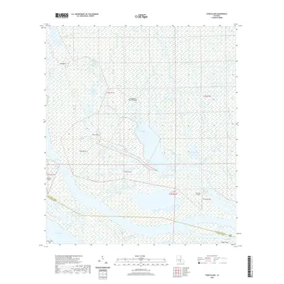
2020 Map of Tiger Island
USGS Topo · Published 2020About this map
The Atchafalaya Basin Floodway dominates this landscape, revealing a complex network of waterways and low-lying landforms in Saint Martin Parish. This survey of the lower Atchafalaya basin highlights the intricate drainage patterns where Big Bayou Chene and Little Bayou Chene converge. The terrain is defined by numerous islands and named points, such as Fisher Island and Tiger Island, which stand as landmarks within the marshy environment.
Find a feature on this map
35 named features on this map. Tap any name to fly to it.
Don’t see what you’re looking for? This feature index may not catch every label — zoom into the map to look around manually.
Map Details
Editions of this 2020 Tiger Island Map
This is the sole edition of this map. No revisions or reprints were ever made.
Other maps of this area

1935 · Morgan City
USGS Topo · 1:62,500

1941 · Belle Isle
USGS Topo · 1:62,500

1945 · New Orleans
USGS Topo · 1:250,000

1948 · Foster
USGS Topo · 1:62,500

1953 · Napoleonville
USGS Topo · 1:62,500

1954 · Morgan City
USGS Topo · 1:62,500

1954 · Belle Isle
USGS Topo · 1:62,500

1959 · Foster
USGS Topo · 1:62,500

1963 · New Orleans
USGS Topo · 1:250,000

1966 · New Orleans
USGS Topo · 1:250,000