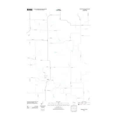
2013 Map of Tigerton NW
USGS Topo · Published 2013About this map
Norske serves as a central point of reference in this corner of Portage County, situated near the headwaters and tributaries that define the local drainage. The landscape is a network of waterways including the Little Wolf River and Bradley Cr, which are fed by smaller streams like Jackson Cr and Comet Cr. These creeks weave through a rural countryside predominantly marked by large agricultural holdings, such as Grove Terrace Farm.
Find a feature on this map
47 named features on this map. Tap any name to fly to it.
Don’t see what you’re looking for? This feature index may not catch every label — zoom into the map to look around manually.
Map Details
Editions of this 2013 Tigerton NW Map
This is the sole edition of this map. No revisions or reprints were ever made.
Other maps of this area

1899 · Wausau
USGS Topo · 1:125,000

1902 · Wausau
USGS Topo · 1:125,000

1953 · Hatley
USGS Topo · 1:48,000

1954 · Wittenberg
USGS Topo · 1:48,000

1955 · Tigerton
USGS Topo · 1:48,000

1955 · Rosholt
USGS Topo · 1:48,000

1955 · Green Bay
USGS Topo · 1:250,000

1964 · Wittenberg
USGS Topo · 1:62,500

1964 · Hatley
USGS Topo · 1:62,500

1969 · Rosholt
USGS Topo · 1:24,000