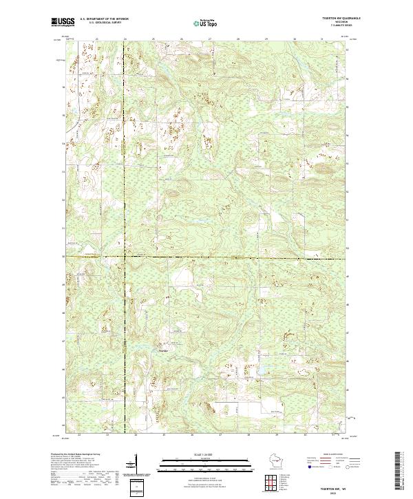
2022 Map of Tigerton NW
USGS Topo · Published 2022About this map
The tiny settlement of Norske sits at a geographic crossroads where Marathon, Shawano, Portage, and Waupaca counties converge. This 2022 survey reveals a landscape deeply defined by its glacial hydrology, with the Little Wolf River and S Br Embarrass River winding through a terrain dotted with extensive wetlands and small tributaries like Comet Cr and Steinke Cr. The network of country roads, including Much Rd and Rekowski Rd, follows the section lines of the Public Land Survey System, reflecting a long-standing agricultural and rural residential pattern. Significant water bodies like Jackson Lake and smaller streams such as Jackson Cr and Jones Cr anchor the local geography, providing a detailed look at the drainage patterns of central Wisconsin.
Find a feature on this map
54 named features on this map. Tap any name to fly to it.
Don’t see what you’re looking for? This feature index may not catch every label — zoom into the map to look around manually.
Map Details
Editions of this 2022 Tigerton NW Map
This is the sole edition of this map. No revisions or reprints were ever made.
Other maps of this area

1899 · Wausau
USGS Topo · 1:125,000

1902 · Wausau
USGS Topo · 1:125,000

1953 · Hatley
USGS Topo · 1:48,000

1954 · Wittenberg
USGS Topo · 1:48,000

1955 · Tigerton
USGS Topo · 1:48,000

1955 · Rosholt
USGS Topo · 1:48,000

1955 · Green Bay
USGS Topo · 1:250,000

1964 · Wittenberg
USGS Topo · 1:62,500

1964 · Hatley
USGS Topo · 1:62,500

1969 · Rosholt
USGS Topo · 1:24,000