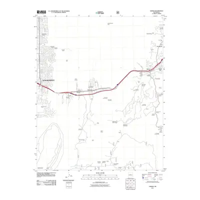
2011 Map of Tijeras
USGS Topo · Published 2011About this map
The canyon lands east of Albuquerque appear in high detail during this early 21st-century survey, centered on the strategic pass where the Tijeras Arroyo cuts through the mountains. The village of Tijeras serves as a local hub, featuring the Tijeras Post Office and nearby Tijeras Cemetery. Industrial activity is a defining characteristic of the landscape, marked by the massive Ideal Basic Cement Plant and the Ideal Basic Limestone Quarry. Smaller-scale legacy mining is visible at the Alpha Mine and York Mine, while recreational and historical sites like the YWCA Camp and Paako Ruin are found further north near San Antonio. The map captures the meeting of desert topography and modern infrastructure, including the Embudo Dam and numerous trailheads leading into the Manzanita Mountains.
Find a feature on this map
57 named features on this map. Tap any name to fly to it.
Don’t see what you’re looking for? This feature index may not catch every label — zoom into the map to look around manually.
Map Details
Editions of this 2011 Tijeras Map
This is the sole edition of this map. No revisions or reprints were ever made.
Other maps of this area

1888 · Bernalillo
USGS Topo · 1:125,000

1889 · Albuquerque
USGS Topo · 1:125,000

1892 · San Pedro
USGS Topo · 1:125,000

1893 · Albuquerque
USGS Topo · 1:125,000

1917 · Estancia
USGS Topo · 1:125,000

1934 · Alameda
USGS Topo · 1:24,000

1934 · East Albuquerque
USGS Topo · 1:24,000

1938 · Albuquerque
USGS Topo · 1:62,500

1952 · Hubbell Spring
USGS Topo · 1:24,000

1954 · Sandia Crest
USGS Topo · 1:24,000