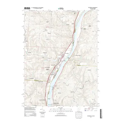
2013 Map of Tiltonsville
USGS Topo · Published 2013About this map
The Ohio River carves a deep valley through the heart of this borderland, separating the industrial and residential corridors of Tiltonsville and Yorkville in Ohio from the steep, hollowed terrain of West Virginia. The landscape reflects a dense history of mid-century river-town development, where settlements like Highland City and Grandview Heights overlook the water from high terraces. Transportation and utilities define the riverfront, characterized by the Pike Island Pool and the Power station.
Find a feature on this map
130 named features on this map. Tap any name to fly to it.
Don’t see what you’re looking for? This feature index may not catch every label — zoom into the map to look around manually.
Map Details
Editions of this 2013 Tiltonsville Map
This is the sole edition of this map. No revisions or reprints were ever made.
Other maps of this area

1901 · Cadiz
USGS Topo · 1:62,500

1902 · Wheeling
USGS Topo · 1:62,500

1903 · Cadiz
USGS Topo · 1:62,500

1904 · Steubenville
USGS Topo · 1:62,500

1905 · St. Clairsville
USGS Topo · 1:62,500

1935 · Wheeling
USGS Topo · 1:62,500

1935 · Steubenville
USGS Topo · 1:62,500

1942 · Wheeling
USGS Topo · 1:62,500

1942 · Steubenville
USGS Topo · 1:62,500

1951 · Canton
USGS Topo · 1:250,000