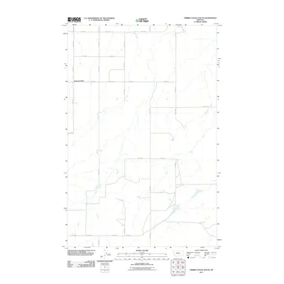
2011 Map of Timber Coulee South
USGS Topo · Published 2011About this map
Diamond Valley serves as the central focal point for this section of Teton County, characterizing the rural landscape of the High Plains. The area is defined by an orderly grid of section-line roads, such as 18th Rd NE and 23rd Ln NE, which facilitate movement across a terrain carved by ephemeral coulees and seasonal drainages. This network of thoroughfares, including Dutton Rd E and Bliss Ln SE, reflects the enduring legacy of the Homestead Act and the systematic parceling of Montana's agricultural heartland. The layout reveals the spatial organization of dryland farming and ranching operations, where vast distances are bridged by these straight-line gravel routes connecting isolated homesteads to larger regional hubs.
Find a feature on this map
14 named features on this map. Tap any name to fly to it.
Don’t see what you’re looking for? This feature index may not catch every label — zoom into the map to look around manually.
Map Details
Editions of this 2011 Timber Coulee South Map
This is the sole edition of this map. No revisions or reprints were ever made.
Other maps of this area

1886 · Great Falls
USGS Topo · 1:250,000

1949 · Timber Coulee
USGS Topo · 1:62,500

1949 · Great Falls
USGS Topo · 1:62,500

1949 · Vaughn
USGS Topo · 1:62,500

1950 · Timber Coulee
USGS Topo · 1:62,500

1950 · Dutton
USGS Topo · 1:62,500

1951 · Great Falls
USGS Topo · 1:62,500

1952 · Vaughn
USGS Topo · 1:62,500

1954 · Great Falls
USGS Topo · 1:250,000

1957 · Great Falls
USGS Topo · 1:250,000