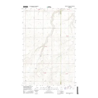
2017 Map of Timber Coulee South
USGS Topo · Published 2017About this map
Teton Ridge dominates the southern landscape of this high plains region, where the boundary between Teton County and Chouteau County is clearly delineated. The terrain is defined by dramatic erosional features including Timber Coulee and Rye Coulee, which cut through the open country. This modern survey reflects the systematic grid of the Public Land Survey System, showing the network of rural roads such as 16th Rd Ne and 24th Ln Ne that provide access to this agricultural and ranching environment. The sparse distribution of named roads like Bliss Ln suggests a landscape largely dedicated to large-scale land use and resource management on the Montana prairie.
Find a feature on this map
22 named features on this map. Tap any name to fly to it.
Don’t see what you’re looking for? This feature index may not catch every label — zoom into the map to look around manually.
Map Details
Editions of this 2017 Timber Coulee South Map
This is the sole edition of this map. No revisions or reprints were ever made.
Other maps of this area

1886 · Great Falls
USGS Topo · 1:250,000

1949 · Timber Coulee
USGS Topo · 1:62,500

1949 · Great Falls
USGS Topo · 1:62,500

1949 · Vaughn
USGS Topo · 1:62,500

1950 · Timber Coulee
USGS Topo · 1:62,500

1950 · Dutton
USGS Topo · 1:62,500

1951 · Great Falls
USGS Topo · 1:62,500

1952 · Vaughn
USGS Topo · 1:62,500

1954 · Great Falls
USGS Topo · 1:250,000

1957 · Great Falls
USGS Topo · 1:250,000