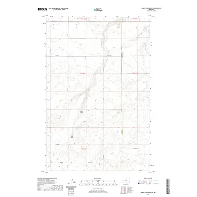
2020 Map of Timber Coulee South
USGS Topo · Published 2020About this map
Teton Ridge anchors the landscape of this high plains region, where the drainage systems of Timber Coulee and Rye Coulee carve deep into the plateau. The map details the border between Teton County and Chouteau County, a boundary marked by a rigid grid of rural roads such as 27th Ln NE and 16th Rd NE. This area is defined by the Public Land Survey System divisions, with the sections of t24n r2e and t24n r3e providing a precise framework for the expansive rangeland. The presence of isolated routes like Bliss Ln and 10th Rd NE suggests a sparsely populated territory primarily dedicated to large-scale agricultural or grazing operations. This 2020 survey highlights how contemporary infrastructure follows historical township lines, maintaining a structural continuity across the Montana landscape.
Find a feature on this map
22 named features on this map. Tap any name to fly to it.
Don’t see what you’re looking for? This feature index may not catch every label — zoom into the map to look around manually.
Map Details
Editions of this 2020 Timber Coulee South Map
This is the sole edition of this map. No revisions or reprints were ever made.
Other maps of this area

1886 · Great Falls
USGS Topo · 1:250,000

1949 · Timber Coulee
USGS Topo · 1:62,500

1949 · Great Falls
USGS Topo · 1:62,500

1949 · Vaughn
USGS Topo · 1:62,500

1950 · Timber Coulee
USGS Topo · 1:62,500

1950 · Dutton
USGS Topo · 1:62,500

1951 · Great Falls
USGS Topo · 1:62,500

1952 · Vaughn
USGS Topo · 1:62,500

1954 · Great Falls
USGS Topo · 1:250,000

1957 · Great Falls
USGS Topo · 1:250,000