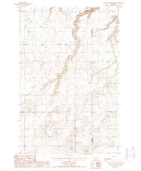
1987 Map of Timber Coulee South
USGS Topo · Published 1987About this map
Teton Ridge dominates the southern landscape of this 1980s Montana survey, where the rugged topography drops away into the winding course of Timber Coulee. The area is defined by its sparse infrastructure and energy-related footprints, marked by a series of pipelines and a Trans Line cutting across the terrain. Along the county line shared by Teton Co and Chouteau Co, the landscape shows evidence of utility development and resource extraction.
Find a feature on this map
12 named features on this map. Tap any name to fly to it.
Don’t see what you’re looking for? This feature index may not catch every label — zoom into the map to look around manually.
Map Details
Editions of this 1987 Timber Coulee South Map
This is the sole edition of this map. No revisions or reprints were ever made.
Other maps of this area

1886 · Great Falls
USGS Topo · 1:250,000

1949 · Timber Coulee
USGS Topo · 1:62,500

1949 · Great Falls
USGS Topo · 1:62,500

1949 · Vaughn
USGS Topo · 1:62,500

1950 · Timber Coulee
USGS Topo · 1:62,500

1950 · Dutton
USGS Topo · 1:62,500

1951 · Great Falls
USGS Topo · 1:62,500

1952 · Vaughn
USGS Topo · 1:62,500

1954 · Great Falls
USGS Topo · 1:250,000

1957 · Great Falls
USGS Topo · 1:250,000