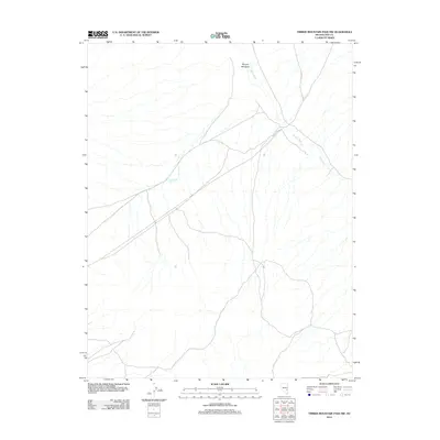
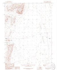
2012 Map of Timber Mountain Pass NW
USGS Topo · Published 2012About this map
Murphy Meadows and the surrounding drainage of the White River define the character of this Nye County landscape. This 2012 survey shows a network of local roads and 4WD tracks converging through the pass, providing access to remote ranching or recreation points. The presence of Murphy Gap Reservoir suggests the importance of water management in this arid environment, where intermittent streams and washes feed into the broader basin. This map documents the state of the terrain as it appeared in the early 2010s, reflecting a quiet corner of the Great Basin defined more by its natural topography and simple transport routes than by dense settlement.
Find a feature on this map
3 named features on this map. Tap any name to fly to it.
Don’t see what you’re looking for? This feature index may not catch every label — zoom into the map to look around manually.
Map Details
Editions of this 2012 Timber Mountain Pass NW Map
This is the sole edition of this map. No revisions or reprints were ever made.
Other maps of this area

1956 · Lund
USGS Topo · 1:250,000

1960 · Lund
USGS Topo · 1:250,000
1964 · Forest Home
USGS Topo · 1:62,500
1969 · Gap Mountain
USGS Topo · 1:24,000
1969 · Hot Creek Butte
USGS Topo · 1:24,000
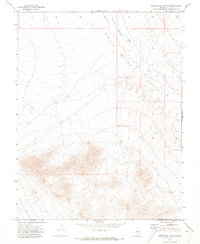
1971 · Timber Mtn Pass NW
USGS Topo · 1:24,000
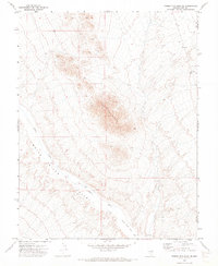
1971 · Timber Mtn Pass NE
USGS Topo · 1:24,000
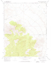
1971 · Timber Mtn Pass East
USGS Topo · 1:24,000
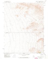
1971 · Timber Mtn Pass West
USGS Topo · 1:24,000
1985 · Water Gap East
USGS Topo · 1:24,000