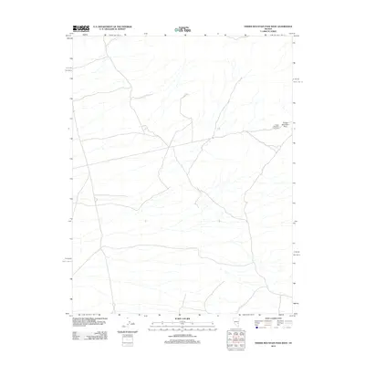
2012 Map of Timber Mountain Pass West
USGS Topo · Published 2012About this map
Timber Mountain Pass and the nearby Timber Mountain Pass Corral serve as the primary landmarks in this sparsely settled corner of Nye County. The map details a landscape defined by seasonal hydrography and a network of unpaved roads and 4WD tracks, reflecting the area's ongoing use for ranching or land management in the early 21st century. Contours spaced at 20-foot intervals reveal the complex drainage patterns and elevation changes through the pass, providing a technical perspective on the terrain that collectors and researchers of Nevada's high desert environment will find useful.
Find a feature on this map
2 named features on this map. Tap any name to fly to it.
Don’t see what you’re looking for? This feature index may not catch every label — zoom into the map to look around manually.
Map Details
Editions of this 2012 Timber Mountain Pass West Map
This is the sole edition of this map. No revisions or reprints were ever made.
Other maps of this area

1954 · Caliente
USGS Topo · 1:250,000

1956 · Lund
USGS Topo · 1:250,000
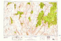
1959 · Caliente
USGS Topo · 1:250,000

1960 · Lund
USGS Topo · 1:250,000
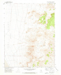
1970 · Oreana Spring
USGS Topo · 1:24,000
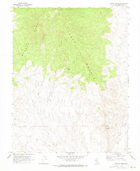
1970 · Weepah Spring
USGS Topo · 1:24,000
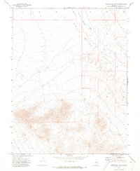
1971 · Timber Mtn Pass NW
USGS Topo · 1:24,000
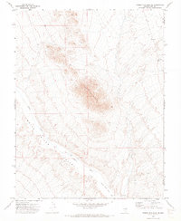
1971 · Timber Mtn Pass NE
USGS Topo · 1:24,000
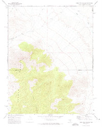
1971 · Timber Mtn Pass East
USGS Topo · 1:24,000
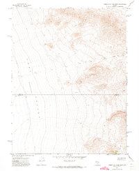
1971 · Timber Mtn Pass West
USGS Topo · 1:24,000