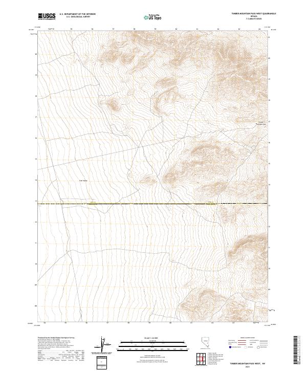
2021 Map of Timber Mountain Pass West
USGS Topo · Published 2021About this map
Coal Valley defines the western expanse of this high-desert landscape, where the terrain transitions toward the elevations of the Timber Mountain Pass to the east. This 2021 survey by the U.S. Geological Survey captures the topographic character of a remote basin floor divided by the Nye Co Lincoln Co boundary. The map illustrates a typical Great Basin drainage pattern, where the vast open floor of the valley is framed by rising mountain slopes. While no permanent settlements are shown, the grid of the Public Land Survey System, including townships t3n r60e and t2n r61e, provides a framework for understanding the land use and ranching history of this corner of the Nevada desert.
Find a feature on this map
7 named features on this map. Tap any name to fly to it.
Don’t see what you’re looking for? This feature index may not catch every label — zoom into the map to look around manually.
Map Details
Editions of this 2021 Timber Mountain Pass West Map
This is the sole edition of this map. No revisions or reprints were ever made.
Other maps of this area

1954 · Caliente
USGS Topo · 1:250,000

1956 · Lund
USGS Topo · 1:250,000

1959 · Caliente
USGS Topo · 1:250,000

1960 · Lund
USGS Topo · 1:250,000

1970 · Oreana Spring
USGS Topo · 1:24,000
1970 · Weepah Spring
USGS Topo · 1:24,000
1971 · Timber Mtn Pass NW
USGS Topo · 1:24,000
1971 · Timber Mtn Pass NE
USGS Topo · 1:24,000
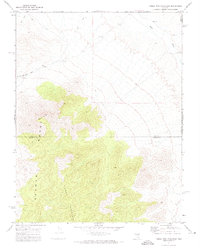
1971 · Timber Mtn Pass East
USGS Topo · 1:24,000
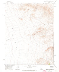
1971 · Timber Mtn Pass West
USGS Topo · 1:24,000