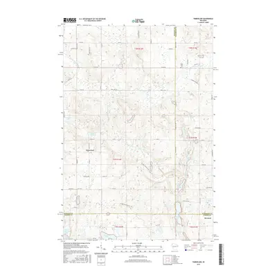
2015 Map of Timberland
USGS Topo · Published 2015About this map
Glacial geology defines the landscape at the meeting of Burnett, Washburn, and Barron counties, where numerous kettle lakes and wetland basins dot the terrain. The small community of Timberland sits near the western edge, while Barronett occupies the southeastern corner. This area is characterized by the winding path of the N Fork Clam River, which drains several of the region's prominent water bodies including Peacock Lake and Severson Lake.
Find a feature on this map
70 named features on this map. Tap any name to fly to it.
Don’t see what you’re looking for? This feature index may not catch every label — zoom into the map to look around manually.
Map Details
Editions of this 2015 Timberland Map
This is the sole edition of this map. No revisions or reprints were ever made.
Other maps of this area

1948 · Spooner
USGS Topo · 1:48,000

1949 · Hertel
USGS Topo · 1:48,000

1949 · Spooner
USGS Topo · 1:48,000

1951 · Cumberland
USGS Topo · 1:48,000

1951 · Shell Lake
USGS Topo · 1:48,000

1953 · Rice Lake
USGS Topo · 1:250,000

1953 · Stillwater
USGS Topo · 1:250,000

1955 · Hertel
USGS Topo · 1:62,500

1955 · Stillwater
USGS Topo · 1:250,000

1956 · Cumberland
USGS Topo · 1:62,500