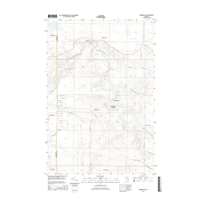
2014 Map of Timberlost
USGS Topo · Published 2014About this map
The Tahquamenon River winds through this Upper Peninsula landscape, passing the Lower Falls as it flows toward the remote settlements of Timberlost and Whitehouse Landing. This 2014 survey documents a region defined by its timber heritage and modern recreational use, where the N Country National Scenic Trail follows the river's edge and crosses the high ground between Water Tank Lakes and Cabin Lake. The network of roads, including the Old Logging Rd and Culhane Grade Rd, reflects the industrial history of the forest, while numerous small water bodies like Clark Lake and Camp Ten Lakes punctuate the backcountry. This map offers a detailed view of the boundary between Luce and Chippewa Counties in a period where primitive forest roads and named trails provide the primary access to the deep woods of Whitefish Township.
Find a feature on this map
52 named features on this map. Tap any name to fly to it.
Don’t see what you’re looking for? This feature index may not catch every label — zoom into the map to look around manually.
Map Details
Editions of this 2014 Timberlost Map
This is the sole edition of this map. No revisions or reprints were ever made.
Other maps of this area
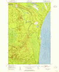
1951 · Shelldrake
USGS Topo · 1:24,000
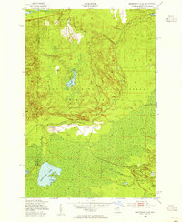
1951 · Sheephead Lake
USGS Topo · 1:24,000
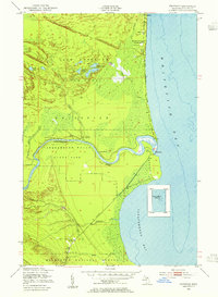
1951 · Emerson
USGS Topo · 1:24,000
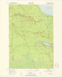
1951 · Piatt Lake
USGS Topo · 1:24,000
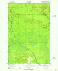
1951 · Big Beaver Creek
USGS Topo · 1:24,000
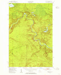
1951 · Timberlost
USGS Topo · 1:24,000
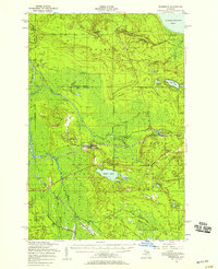
1951 · Eckerman
USGS Topo · 1:62,500
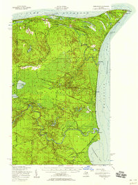
1951 · Shelldrake
USGS Topo · 1:62,500
1954 · Sault Sainte Marie
USGS Topo · 1:250,000
1956 · Sault Sainte Marie
USGS Topo · 1:250,000