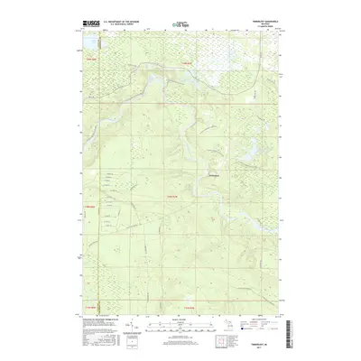
2017 Map of Timberlost
USGS Topo · Published 2017About this map
The Tahquamenon River winds through the heart of the Upper Peninsula on this 2017 survey, defining a landscape of wetlands and northern forests. Near Lower Falls, the river’s path is flanked by the N Country National Scenic Trail, which traces the high ground above the water. The settlement of Timberlost sits east of the river, surrounded by a dense network of forest roads and named tracks like Culhane Grade Rd and W Cat-Soo Grade Rd, which hint at the region’s logging history and early transit routes. Numerous small water bodies, including Water Tank Lakes and Camp Ten Lakes, dot the glacial terrain, while the boundary between Luce Co and Chippewa Co marks the western edge of the quadrangle. This map provides a detailed view of the remote access points used by sportsmen and hikers near Whitehouse Landing Rd.
Find a feature on this map
51 named features on this map. Tap any name to fly to it.
Don’t see what you’re looking for? This feature index may not catch every label — zoom into the map to look around manually.
Map Details
Editions of this 2017 Timberlost Map
This is the sole edition of this map. No revisions or reprints were ever made.
Other maps of this area
1951 · Shelldrake
USGS Topo · 1:24,000
1951 · Sheephead Lake
USGS Topo · 1:24,000
1951 · Emerson
USGS Topo · 1:24,000
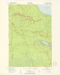
1951 · Piatt Lake
USGS Topo · 1:24,000
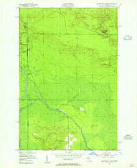
1951 · Big Beaver Creek
USGS Topo · 1:24,000
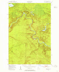
1951 · Timberlost
USGS Topo · 1:24,000
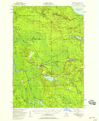
1951 · Eckerman
USGS Topo · 1:62,500
1951 · Shelldrake
USGS Topo · 1:62,500
1954 · Sault Sainte Marie
USGS Topo · 1:250,000
1956 · Sault Sainte Marie
USGS Topo · 1:250,000