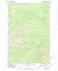
1971 Map of Timberwolf Mtn
USGS Topo · Published 1974About this map
Snoqualmie National Forest dominates this topographic survey, revealing a high-elevation backcountry accessible primarily by a network of pack trails and early jeep trails. The landscape is defined by its drainage systems, where the North Fork Nelson Creek and Rattlesnake Creek carve through steep terrain toward the Yakima drainage. High points such as Timberwolf Mtn and Nelson Butte anchor the survey, while the presence of Lookout stations at peaks like 6391 suggests the area's importance for fire observation and forest management. Small water bodies like Richmond Lake and Buck Lake sit nestled in high basins, and named water sources like Clover Spring and Schneider Springs provide critical waypoints for those navigating the ridge lines. This 1970s topography provides a clear view of the primitive road and trail infrastructure that existed before later modernizations altered the forest access.
Find a feature on this map
23 named features on this map. Tap any name to fly to it.
Don’t see what you’re looking for? This feature index may not catch every label — zoom into the map to look around manually.
Map Details
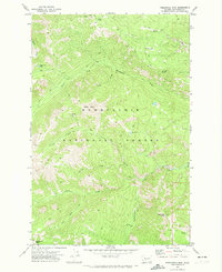
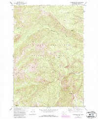
Editions of this 1971 Timberwolf Mtn Map
3 editions found
Other maps of this area

1902 · Mount Aix
USGS Topo · 1:125,000

1904 · Mt Aix
USGS Topo · 1:125,000

1950 · Yakima
USGS Topo · 1:250,000

1958 · Yakima
USGS Topo · 1:250,000

1961 · Yakima
USGS Topo · 1:250,000

1962 · Bumping Lake
USGS Topo · 1:62,500

1962 · White Pass
USGS Topo · 1:62,500

1967 · Rimrock Lake
USGS Topo · 1:24,000

1967 · Tieton Basin
USGS Topo · 1:24,000
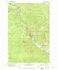
1971 · Cliffdell
USGS Topo · 1:24,000