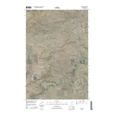
2014 Map of Timmer
USGS Topo · Published 2014About this map
The small settlement of Timmer sits near the northern boundary of the Great Plains landscape, where the rural topography is defined by the winding course of the Cannonball River. This 2014 survey documents the convergence of three counties—Morton, Sioux, and Grant—within a landscape primarily utilized for ranching and agriculture. Local heritage is rooted in the presence of Saint George Cem, which serves as a landmark for the community just outside the town site. The drainage patterns of the Dogtooth Cr and Louse Cr suggest a terrain etched by water over time, creating the rolling breaks typical of this North Dakota region. The grid of section roads, including CR-134 and 72nd ST SW, maintains the historical land division patterns established during the era of early homesteading and settlement.
Find a feature on this map
20 named features on this map. Tap any name to fly to it.
Don’t see what you’re looking for? This feature index may not catch every label — zoom into the map to look around manually.
Map Details
Editions of this 2014 Timmer Map
This is the sole edition of this map. No revisions or reprints were ever made.
Other maps of this area
1954 · Bismarck
USGS Topo · 1:250,000
1958 · Bismarck
USGS Topo · 1:250,000
1971 · Froelich Dam
USGS Topo · 1:24,000
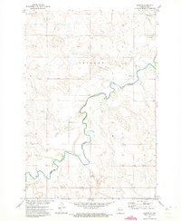
1971 · Shields
USGS Topo · 1:24,000
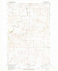
1971 · Solen SW
USGS Topo · 1:24,000
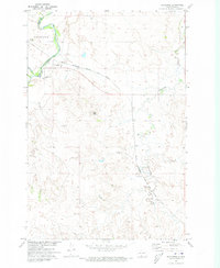
1971 · Porcupine
USGS Topo · 1:24,000
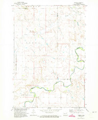
1971 · Timmer
USGS Topo · 1:24,000
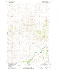
1980 · Breien
USGS Topo · 1:24,000
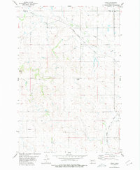
1980 · Freda
USGS Topo · 1:24,000
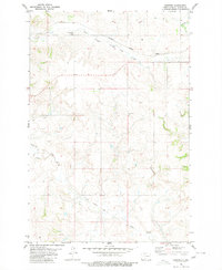
1980 · Burgess
USGS Topo · 1:24,000