
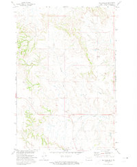
1971 Map of Froelich Dam
USGS Topo · Published 1973About this map
Porcupine Hills dominate the southern landscape of this Sioux County region, surveyed in the early 1970s. The geography is defined by the drainage of Porcupine Creek and the man-made impoundment at Froelich Dam, which includes the Froelich Dam State Management Area. This site reflects mid-century water management efforts by the State Water Commission to support the Missouri River Basin development. A stretch of the C M St P & P railroad cuts through the southwest corner, providing a vital transportation link for this rural landscape. Scattered features such as a Well and a Riser suggest the agricultural and industrial infrastructure required to manage resources in this high-plains environment within the Standing Rock Indian Reservation.
Find a feature on this map
9 named features on this map. Tap any name to fly to it.
Don’t see what you’re looking for? This feature index may not catch every label — zoom into the map to look around manually.
Map Details
Editions of this 1971 Froelich Dam Map
This is the sole edition of this map. No revisions or reprints were ever made.
Other maps of this area

1954 · Bismarck
USGS Topo · 1:250,000

1958 · Bismarck
USGS Topo · 1:250,000

1971 · Barren Butte
USGS Topo · 1:24,000

1971 · Half Timber Butte
USGS Topo · 1:24,000

1971 · Solen SW
USGS Topo · 1:24,000

1971 · Porcupine
USGS Topo · 1:24,000

1971 · Timmer
USGS Topo · 1:24,000
1971 · Selfridge SE
USGS Topo · 1:24,000

1971 · Selfridge
USGS Topo · 1:24,000

1971 · Pamplin Hills
USGS Topo · 1:24,000