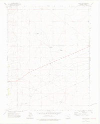
1972 Map of Timpas NW
USGS Topo · Published 1976About this map
Harbeck Windmill stands on a flat expanse of Otero County in the early 1970s, marking a landscape defined by the critical search for water in the high plains. This arid terrain is heavily modified for water storage and transport, evidenced by a series of reservoirs including Swink Reservoir No 2, Swink Res No 6, and Swink Reservoir No 5. The reliance on subsurface resources is further revealed through named water points like Big Well, Good Well, and a Flowing Well located near the center of the survey area. Long-distance pipelines cut across the contours, connecting these water sources across the prairie. Aside from a lone Radio Tower, the topography is largely uninterrupted, with occasional landmarks like Two Trees serving as navigational aids in an otherwise uniform environment.
Find a feature on this map
12 named features on this map. Tap any name to fly to it.
Don’t see what you’re looking for? This feature index may not catch every label — zoom into the map to look around manually.
Map Details
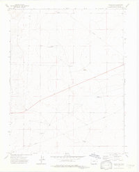
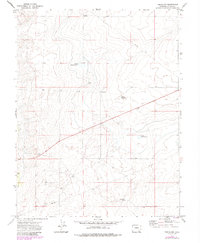
Editions of this 1972 Timpas NW Map
3 editions found
Other maps of this area

1891 · Catlin
USGS Topo · 1:125,000

1891 · Timpas
USGS Topo · 1:125,000

1891 · Nepesta
USGS Topo · 1:125,000

1891 · Apishapa
USGS Topo · 1:125,000

1893 · Nepesta
USGS Topo · 1:125,000

1893 · Apishapa
USGS Topo · 1:125,000

1893 · Catlin
USGS Topo · 1:125,000

1894 · Timpas
USGS Topo · 1:125,000

1897 · Apishapa
USGS Topo · 1:125,000

1904 · Nepesta
USGS Topo · 1:125,000