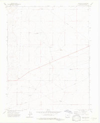
1972 Map of Timpas NW
USGS Topo · Published 1976About this map
Swink Reservoir water management systems define this high plains landscape in southern Colorado during the early 1970s. The terrain is marked by a complex network of ranching and utility infrastructure, including the Harbeck Windmill and several strategically placed water sources like Big Well and Flowing Well. These features suggest a landscape where water access was the primary driver of land use and property boundaries, underscored by the numerous red dashed lines indicating fence lines throughout Otero County.
Find a feature on this map
13 named features on this map. Tap any name to fly to it.
Don’t see what you’re looking for? This feature index may not catch every label — zoom into the map to look around manually.
Map Details
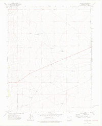
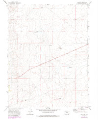
Editions of this 1972 Timpas NW Map
3 editions found
Other maps of this area

1891 · Catlin
USGS Topo · 1:125,000

1891 · Timpas
USGS Topo · 1:125,000

1891 · Nepesta
USGS Topo · 1:125,000

1891 · Apishapa
USGS Topo · 1:125,000

1893 · Nepesta
USGS Topo · 1:125,000

1893 · Apishapa
USGS Topo · 1:125,000

1893 · Catlin
USGS Topo · 1:125,000

1894 · Timpas
USGS Topo · 1:125,000

1897 · Apishapa
USGS Topo · 1:125,000

1904 · Nepesta
USGS Topo · 1:125,000