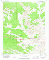
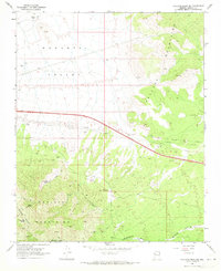
1968 Map of Tin Mountain NW
USGS Topo · Published 1980About this map
Mcgarrys stands as a notable point of interest in this high-desert Mohave County landscape, situated near the seasonal drainages of the southern reaches. The 1968 topography, updated with photorevised data through 1980, reveals the infrastructure of transit and energy that shaped the region during the late twentieth century. Modern development is anchored by the Round Valley Interchange, while a network of pipelines and a Jeep Trail cut across the arid terrain. Industrial activity is evident in the cluster of utility features including a Compressor Station, an Oil Sump, and a Sewage Disposal Pond. Water management is critical in this environment, represented by Cofer Dam and various water tanks and Red Tanks scattered throughout the quadrangle, serving as vital resources for the remote outposts of this Arizona interior.
Find a feature on this map
13 named features on this map. Tap any name to fly to it.
Don’t see what you’re looking for? This feature index may not catch every label — zoom into the map to look around manually.
Map Details
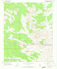
Editions of this 1968 Tin Mountain NW Map
2 editions found
Other maps of this area

1886 · Diamond Creek
USGS Topo · 1:250,000

1892 · Diamond Creek
USGS Topo · 1:250,000

1948 · Williams
USGS Topo · 1:250,000

1954 · Williams
USGS Topo · 1:250,000

1956 · Williams
USGS Topo · 1:250,000

1960 · Williams
USGS Topo · 1:250,000

1961 · Williams
USGS Topo · 1:250,000
1968 · Austin Peak
USGS Topo · 1:24,000
1968 · Peacock Peak
USGS Topo · 1:24,000
1968 · Hualapai Peak NE
USGS Topo · 1:24,000