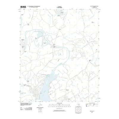
2010 Map of Tin Top
USGS Topo · Published 2010About this map
The Brazos River creates a dramatic loop at Horseshoe Bend as it snakes toward the upper reaches of Lake Granbury. This landscape is defined by the river’s winding course, featuring the Tin Top Suspension Bridge and Hightower Bridge which provide critical crossings near the settlement of Tin Top. The geography is shaped by distinctive landmarks like Milliken Bluff, Conway Bluff, and Nebo Mountain, while the alluvial flats of Blair Valley and Hightower Valley suggest the region's agricultural history. Genealogists can find several burial sites including Horseshoe Bend Cemetery, Herring Cemetery, and Fairview Cemetery, which serve as anchors for the rural communities of Fairview and Center Mill. Further south, the map details the transition into more developed areas around Lake Granbury, including several dams like the Black Lake Dam.
Find a feature on this map
81 named features on this map. Tap any name to fly to it.
Don’t see what you’re looking for? This feature index may not catch every label — zoom into the map to look around manually.
Map Details
Editions of this 2010 Tin Top Map
This is the sole edition of this map. No revisions or reprints were ever made.
Other maps of this area

1889 · Granbury
USGS Topo · 1:125,000

1891 · Weatherford
USGS Topo · 1:125,000

1893 · Weatherford
USGS Topo · 1:125,000

1923 · Granbury 2-a
USGS Topo · 1:48,000

1923 · Granbury 1-b
USGS Topo · 1:48,000

1924 · Weatherford 3-d
USGS Topo · 1:48,000

1928 · Godley
USGS Topo · 1:62,500

1931 · Dennis
USGS Topo · 1:62,500

1931 · Tolar
USGS Topo · 1:62,500

1954 · Dallas
USGS Topo · 1:250,000