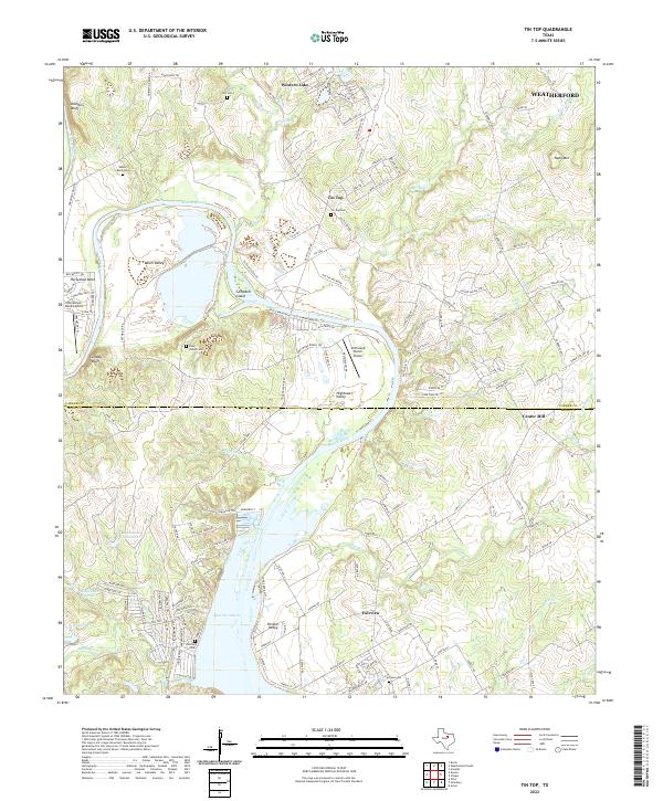
2022 Map of Tin Top
USGS Topo · Published 2022About this map
The Brazos River creates a wide, meandering loop through the heart of this North Texas terrain, carving out deep valleys like Blair Valley and forming the prominent Campbell Island. As the river flows south toward Lake Granbury, the landscape transitions from industrial sites like the TXI Plant to the small residential pockets of Tin Top and Fairview. The map is particularly useful for genealogists and local historians, as it documents several family and community burial grounds, including Irby Cem, Walker Bend Cem, and Tin Top Cem. Transport and aviation are represented by the Driftwood Ranch Airport and Horseshoe Bend Airport, while the eastern portion of the sheet shows the outskirts of Weatherford and the historic site of Center Mill near the Parker and Hood County line.
Find a feature on this map
156 named features on this map. Tap any name to fly to it.
Don’t see what you’re looking for? This feature index may not catch every label — zoom into the map to look around manually.
Map Details
Editions of this 2022 Tin Top Map
This is the sole edition of this map. No revisions or reprints were ever made.
Other maps of this area

1889 · Granbury
USGS Topo · 1:125,000

1891 · Weatherford
USGS Topo · 1:125,000

1893 · Weatherford
USGS Topo · 1:125,000

1923 · Granbury 2-a
USGS Topo · 1:48,000

1923 · Granbury 1-b
USGS Topo · 1:48,000

1924 · Weatherford 3-d
USGS Topo · 1:48,000

1928 · Godley
USGS Topo · 1:62,500

1931 · Dennis
USGS Topo · 1:62,500

1931 · Tolar
USGS Topo · 1:62,500

1954 · Dallas
USGS Topo · 1:250,000