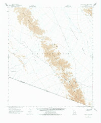
1965 Map of Tinajas Altas
USGS Topo · Published 1978About this map
The Camino del Diablo, an ancient and hazardous trail route, segments this desert landscape as it passes through the Luke Air Force Range. This 1965 survey documents the arid transition between the Gila Mountains and the Tinajas Altas Mountains, where natural water catchments like the Raven Butte Tank and the namesake Tinajas Altas pools were historically critical for survival. The map traces both the Approximate East Route and the West Route as they converge toward the United States-Mexico border. This area is characterized by vast basins such as the Lechuguilla Desert and the Yuma Desert, broken only by granite rises like Raven Butte and narrow crossings at Cipriano Pass. The mapping provides a technical view of a region defined by its isolation and the logistical challenges of the international boundary line.
Find a feature on this map
23 named features on this map. Tap any name to fly to it.
Don’t see what you’re looking for? This feature index may not catch every label — zoom into the map to look around manually.
Map Details
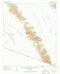
Editions of this 1965 Tinajas Altas Map
2 editions found
Other maps of this area

1926 · Fortuna
USGS Topo · 1:62,500

1926 · Wellton
USGS Topo · 1:62,500

1926 · Mohawk
USGS Topo · 1:62,500

1928 · Mohawk
USGS Topo · 1:62,500

1929 · Fortuna
USGS Topo · 1:62,500

1929 · Wellton
USGS Topo · 1:62,500

1942 · Yuma
USGS Topo · 1:250,000

1953 · Ajo
USGS Topo · 1:250,000

1954 · El Centro
USGS Topo · 1:250,000

1955 · El Centro
USGS Topo · 1:250,000