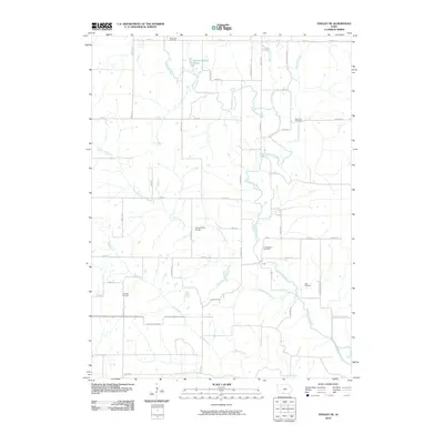
2010 Map of Tingley NE
USGS Topo · Published 2010About this map
The Thompson River winds centrally through this section of Decatur County, joined by numerous numbered tributaries including Fourmile Creek, Sevenmile Creek, and Twelvemile Creek. The landscape is defined by a dense grid of rural roads named for flora and fauna, such as Tulip Ave, Yellow Rose Ave, and Unicorn Ave. This network connects several established burial grounds that serve as vital links for family historians, including Otterbein Cemetery in the north and Cornwall Cemetery to the southwest.
Find a feature on this map
39 named features on this map. Tap any name to fly to it.
Don’t see what you’re looking for? This feature index may not catch every label — zoom into the map to look around manually.
Map Details
Editions of this 2010 Tingley NE Map
This is the sole edition of this map. No revisions or reprints were ever made.
Other maps of this area

1951 · Osceola
USGS Topo · 1:62,500

1951 · Afton
USGS Topo · 1:62,500

1954 · Centerville
USGS Topo · 1:250,000

1954 · Omaha
USGS Topo · 1:250,000

1954 · Des Moines
USGS Topo · 1:250,000

1955 · Nebraska City
USGS Topo · 1:250,000

1956 · Des Moines
USGS Topo · 1:250,000

1957 · Des Moines
USGS Topo · 1:250,000

1957 · Nebraska City
USGS Topo · 1:250,000

1957 · Omaha
USGS Topo · 1:250,000