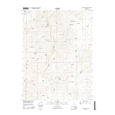
2014 Map of Tintic Mountain
USGS Topo · Published 2014About this map
The East Tintic Mountains dominate this high-elevation region along the boundary of Juab and Utah counties. This 2014 survey documents a landscape defined by its mining history and remote drainage systems, centered on the small settlement of Dennis. Resource extraction is evident through the Sunrise and Copperopolis mine sites, as well as Ockleberry Corrals, reflecting the industrial past of the Tintic mining district.
Find a feature on this map
71 named features on this map. Tap any name to fly to it.
Don’t see what you’re looking for? This feature index may not catch every label — zoom into the map to look around manually.
Map Details
Editions of this 2014 Tintic Mountain Map
This is the sole edition of this map. No revisions or reprints were ever made.
Other maps of this area

1885 · Manti
USGS Topo · 1:250,000

1885 · Sevier Desert
USGS Topo · 1:250,000

1895 · Manti
USGS Topo · 1:250,000

1949 · Eureka
USGS Topo · 1:24,000

1951 · Santaquin
USGS Topo · 1:62,500

1951 · Nephi
USGS Topo · 1:62,500

1953 · Delta
USGS Topo · 1:250,000

1954 · Mc Intyre
USGS Topo · 1:24,000

1954 · Tintic Mountain
USGS Topo · 1:24,000

1954 · Tintic Junction
USGS Topo · 1:24,000