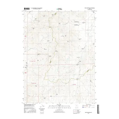
2017 Map of Tintic Mountain
USGS Topo · Published 2017About this map
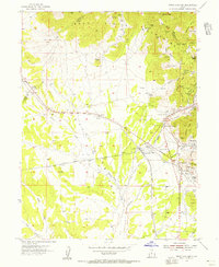
The East Tintic Mountains dominate this high-desert landscape in the late 2010s, centered on the prominent summit of Tintic Mountain. The settlement of Dennis is the primary human waypoint, situated along Dennis Rd and Dennison Rd near the drainage of Copperopolis Cr. The terrain is defined by complex geological formations, including Volcano Ridge and the sharp profile of Rattlesnake Peak.
Find a feature on this map
63 named features on this map. Tap any name to fly to it.
Don’t see what you’re looking for? This feature index may not catch every label — zoom into the map to look around manually.
Map Details
Editions of this 2017 Tintic Mountain Map
This is the sole edition of this map. No revisions or reprints were ever made.
Other maps of this area
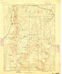
1885 · Manti
USGS Topo · 1:250,000

1885 · Sevier Desert
USGS Topo · 1:250,000
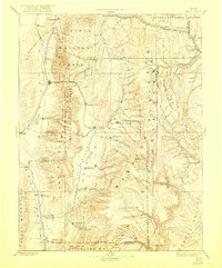
1895 · Manti
USGS Topo · 1:250,000
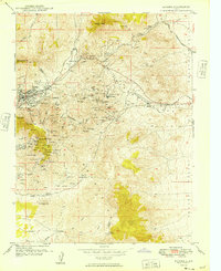
1949 · Eureka
USGS Topo · 1:24,000
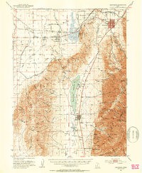
1951 · Santaquin
USGS Topo · 1:62,500
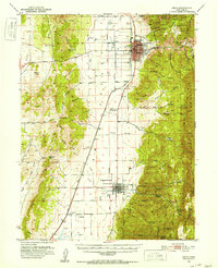
1951 · Nephi
USGS Topo · 1:62,500

1953 · Delta
USGS Topo · 1:250,000
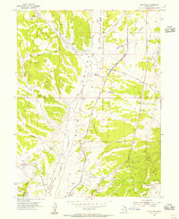
1954 · Mc Intyre
USGS Topo · 1:24,000
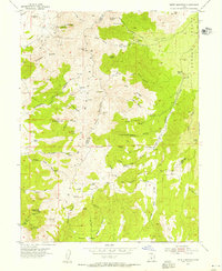
1954 · Tintic Mountain
USGS Topo · 1:24,000
1954 · Tintic Junction
USGS Topo · 1:24,000