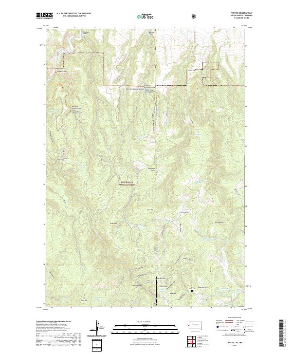
2021 Map of Tinton
USGS Topo · Published 2021About this map
The high-elevation mining and timber landscapes of the Black Hills National Forest define this area along the South Dakota and Wyoming border. Centered on the historic mining community of Tinton, the map details a terrain carved by numerous drainages, including Bear Gulch and Centennial Gulch. These waterways, often accompanied by springs like Sunshine Hill Centennial Spring, were vital to the early industrial activity in the region. The map reveals a high concentration of named peaks and ridges, such as The Needles, Beartown Hill, and Lytle Hill, which provided vantage points for early surveyors and prospectors.
Find a feature on this map
61 named features on this map. Tap any name to fly to it.
Don’t see what you’re looking for? This feature index may not catch every label — zoom into the map to look around manually.
Map Details
Editions of this 2021 Tinton Map
This is the sole edition of this map. No revisions or reprints were ever made.
Other maps of this area

1894 · Deadwood
USGS Topo · 1:125,000

1898 · Sundance
USGS Topo · 1:125,000

1900 · Spearfish
USGS Topo · 1:62,500

1901 · Deadwood
USGS Topo · 1:125,000

1901 · Aladdin
USGS Topo · 1:125,000

1902 · Sundance
USGS Topo · 1:125,000

1903 · Aladdin
USGS Topo · 1:125,000

1907 · Belle Fourche
USGS Topo · 1:125,000

1907 · Redwater
USGS Topo · 1:62,500

1915 · Spearfish
USGS Topo · 1:62,500