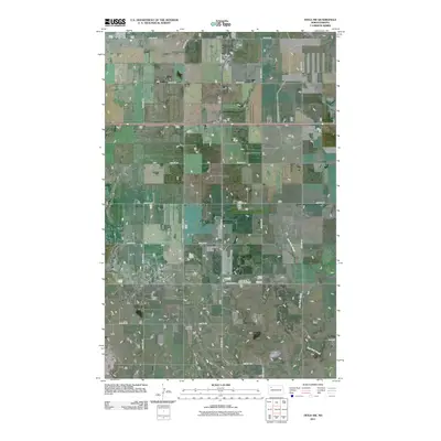
2011 Map of Tioga SW
USGS Topo · Published 2011About this map
The Beaver Lodge Oil and Gas Field dominates the central landscape of this Williams County region, reflecting the significant industrial footprint of the Williston Basin in the early 21st century. The map illustrates a strictly organized section-line road grid, with routes like 66th St NW and 104th Ave NW providing access to local agricultural and energy operations. Tucked within this rural framework, Bethany Cemetery serves as a key landmark for genealogical research and local heritage. The terrain is defined by the winding path of Dry Fork Creek, which provides a natural break in the otherwise geometric layout of the plains. This 2011 survey captures the area during a period of modern energy production, where high-capacity infrastructure like County Hwy 8 connects scattered rural sites to the broader transport network.
Find a feature on this map
18 named features on this map. Tap any name to fly to it.
Don’t see what you’re looking for? This feature index may not catch every label — zoom into the map to look around manually.
Map Details
Editions of this 2011 Tioga SW Map
This is the sole edition of this map. No revisions or reprints were ever made.
Other maps of this area

1911 · Ray
USGS Topo · 1:125,000

1953 · Williston
USGS Topo · 1:250,000

1957 · Williston
USGS Topo · 1:250,000

1965 · Charlson NE
USGS Topo · 1:24,000

1965 · Charlson NW
USGS Topo · 1:24,000

1969 · White Earth
USGS Topo · 1:24,000

1969 · Red Mike Hill
USGS Topo · 1:24,000

1978 · Ray SE
USGS Topo · 1:24,000

1978 · Temple
USGS Topo · 1:24,000

1979 · Tioga SE
USGS Topo · 1:24,000