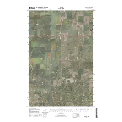
2014 Map of Tioga SW
USGS Topo · Published 2014About this map
Industrial and rural landscapes intersect along the border of Williams Co and Mountrail Co in this 2014 survey. The topography is defined by the significant footprint of the Beaver Lodge Oil and Gas Field, which occupies a central position on the plateau. A strict grid of section roads, including 104th Ave NW and 64th St NW, provides access to the scattered energy infrastructure and agricultural lands.
Find a feature on this map
19 named features on this map. Tap any name to fly to it.
Don’t see what you’re looking for? This feature index may not catch every label — zoom into the map to look around manually.
Map Details
Editions of this 2014 Tioga SW Map
This is the sole edition of this map. No revisions or reprints were ever made.
Other maps of this area

1911 · Ray
USGS Topo · 1:125,000

1953 · Williston
USGS Topo · 1:250,000

1957 · Williston
USGS Topo · 1:250,000

1965 · Charlson NE
USGS Topo · 1:24,000

1965 · Charlson NW
USGS Topo · 1:24,000

1969 · White Earth
USGS Topo · 1:24,000

1969 · Red Mike Hill
USGS Topo · 1:24,000

1978 · Ray SE
USGS Topo · 1:24,000

1978 · Temple
USGS Topo · 1:24,000

1979 · Tioga SE
USGS Topo · 1:24,000