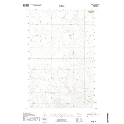
2017 Map of Tioga SW
USGS Topo · Published 2017About this map
Bethany Cem sits prominently in the southern section of this rural landscape where Williams and Mountrail counties meet. The area is defined by a rigorous grid of section lines and secondary roads, including Co Hwy 23 and 64th St NW, which facilitate movement through the high plains. The intermittent drainage of Dry Fork Cr carves subtle relief into the terrain to the southeast, while the Tioga Municipal Airport occupies the northeastern corner, indicating the modern infrastructure supporting this remote part of the Williston Basin. This 2017 survey reflects the contemporary organization of North Dakota's agricultural and energy-producing regions, capturing the precise layout of township boundaries like t156n r95w as they existed in the early twenty-first century.
Find a feature on this map
21 named features on this map. Tap any name to fly to it.
Don’t see what you’re looking for? This feature index may not catch every label — zoom into the map to look around manually.
Map Details
Editions of this 2017 Tioga SW Map
This is the sole edition of this map. No revisions or reprints were ever made.
Other maps of this area

1911 · Ray
USGS Topo · 1:125,000

1953 · Williston
USGS Topo · 1:250,000

1957 · Williston
USGS Topo · 1:250,000

1965 · Charlson NE
USGS Topo · 1:24,000

1965 · Charlson NW
USGS Topo · 1:24,000

1969 · White Earth
USGS Topo · 1:24,000

1969 · Red Mike Hill
USGS Topo · 1:24,000

1978 · Ray SE
USGS Topo · 1:24,000

1978 · Temple
USGS Topo · 1:24,000

1979 · Tioga SE
USGS Topo · 1:24,000