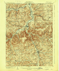
1902 Map of Tioga
USGS Topo · Published 1931About this map
The Tioga River and Cowanesque River serve as the primary conduits for both water and commerce in this northern Pennsylvania borderland. At the confluence of these waterways lies Lawrenceville, situated directly against the Pennsylvania New York Boundary Line. This topography dictates a network of transportation that follows the river valleys, where the Erie RR (Tioga Div) and the New York Central and Hudson River RR converge at Tioga Junction. The convergence of these rail lines at the turn of the century supported a string of settlements like Mitchell Creek, Lambs Creek, and Tioga. To the south, Mansfield emerges as a significant hub where Manns Creek meets the river. The surrounding uplands are dotted with smaller communities and family-named landmarks, such as Jackson Summit and East Charleston, providing a clear picture of the rural township structure in Tioga and Richmond during the late nineteenth century.
Find a feature on this map
59 named features on this map. Tap any name to fly to it.
Don’t see what you’re looking for? This feature index may not catch every label — zoom into the map to look around manually.
Map Details
Editions of this 1902 Tioga Map
5 editions found
Other maps of this area

1895 · Elmira
USGS Topo · 1:62,500

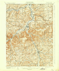
1900 · Tioga
USGS Topo · 1:62,500

1900 · Elkland
USGS Topo · 1:62,500

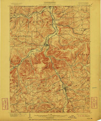
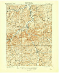
1902 · Tioga
USGS Topo · 1:62,500

1905 · Watkins Glen
USGS Topo · 1:125,000

1914 · Corning
USGS Topo · 1:62,500

1924 · Woodhull
USGS Topo · 1:48,000

1925 · Blossburg
USGS Topo · 1:62,500

1926 · Woodhull
USGS Topo · 1:62,500

1927 · Blossburg
USGS Topo · 1:62,500