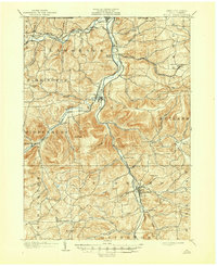
1902 Map of Tioga
USGS Topo · Published 1945About this map
The Tioga River and Cowanesque River converge near the Pennsylvania New York Boundary Line, anchoring a valley landscape defined by late nineteenth-century rail infrastructure. This 1902 survey illustrates the intersection of several major lines, including the Tioga Division, the Erie R. R., and the Pennsylvania Div. of the Central and Hudson River R. R., which facilitated the movement of timber and coal through Tioga County. Settlements like Tioga Junction and Lawrenceville served as critical nodes in this transport network. Beyond the river bottoms, the terrain rises to summits such as Bald Hill and Pickle Hill, where smaller agricultural communities like East Charleston and Mardin are situated along the headwaters of Elk Run and Manns Creek. The map provides a detailed view of the regional economy just before the transition away from heavy rail dominance.
Find a feature on this map
69 named features on this map. Tap any name to fly to it.
Don’t see what you’re looking for? This feature index may not catch every label — zoom into the map to look around manually.
Map Details
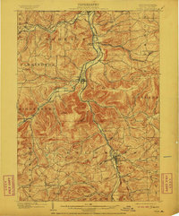
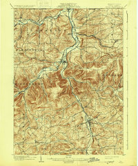
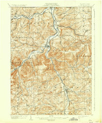
Editions of this 1902 Tioga Map
5 editions found
Other maps of this area

1895 · Elmira
USGS Topo · 1:62,500

1900 · Tioga
USGS Topo · 1:62,500

1900 · Elkland
USGS Topo · 1:62,500

1902 · Tioga
USGS Topo · 1:62,500

1905 · Watkins Glen
USGS Topo · 1:125,000

1914 · Corning
USGS Topo · 1:62,500

1924 · Woodhull
USGS Topo · 1:48,000

1925 · Blossburg
USGS Topo · 1:62,500

1926 · Woodhull
USGS Topo · 1:62,500

1927 · Blossburg
USGS Topo · 1:62,500