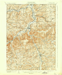
1902 Map of Tioga
USGS Topo · Published 1935About this map
The Tioga River and Cowanesque River valleys define the geography of this northern Pennsylvania landscape at the turn of the century. As a critical corridor for transport, the region is heavily defined by its rail network, including the New York Central and Hudson River RR and the Erie RR (Tioga Div). These lines connect established river towns like Lawrenceville, Tioga, and Mansfield. The surveyor’s hand captures the intricate contour of the Allegheny Plateau, where elevations rise to points such as Farmington Hill and Bald Hill. Small agricultural and railroad hamlets are scattered across the townships, including Canoe Camp, Nelson, and Jackson Summit. The map serves as a detailed record of the drainage patterns of the northern tier, showing the অসংখ্য tributaries like Mill Creek and Crooked Creek that fed the valley floor's economy before the era of modern highway development.
Find a feature on this map
65 named features on this map. Tap any name to fly to it.
Don’t see what you’re looking for? This feature index may not catch every label — zoom into the map to look around manually.
Map Details
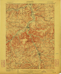
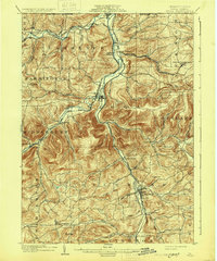
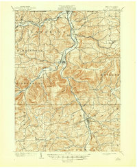
Editions of this 1902 Tioga Map
5 editions found
Other maps of this area

1895 · Elmira
USGS Topo · 1:62,500

1900 · Tioga
USGS Topo · 1:62,500

1900 · Elkland
USGS Topo · 1:62,500

1902 · Tioga
USGS Topo · 1:62,500

1905 · Watkins Glen
USGS Topo · 1:125,000

1914 · Corning
USGS Topo · 1:62,500

1924 · Woodhull
USGS Topo · 1:48,000

1925 · Blossburg
USGS Topo · 1:62,500

1926 · Woodhull
USGS Topo · 1:62,500

1927 · Blossburg
USGS Topo · 1:62,500