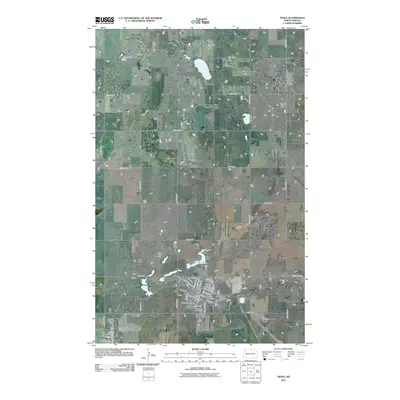
2011 Map of Tioga
USGS Topo · Published 2011About this map
Tioga and its surrounding prairie landscape are defined by a grid of agricultural section lines and the growing footprint of energy infrastructure. Located in Williams County, the area is notably marked by the Tioga Oil and Gas Field, signaling the region's industrial importance during the early 21st century. The town core is detailed down to specific street names like N Main St and Willard Blvd, which radiate from the central hub near the rail corridor. Local history and genealogy are preserved through a series of burial grounds including Bakken Cemetery, Hillside Cemetery, United Cemetery, and Eastside Cemetery. Water management is represented by Tioga Dam, while the Tioga Municipal Airport and Tioga Golf Course highlight the community's modern development and leisure spaces.
Find a feature on this map
45 named features on this map. Tap any name to fly to it.
Don’t see what you’re looking for? This feature index may not catch every label — zoom into the map to look around manually.
Map Details
Editions of this 2011 Tioga Map
This is the sole edition of this map. No revisions or reprints were ever made.
Other maps of this area

1911 · Ray
USGS Topo · 1:125,000

1953 · Williston
USGS Topo · 1:250,000

1957 · Williston
USGS Topo · 1:250,000

1969 · White Earth
USGS Topo · 1:24,000

1974 · McGregor
USGS Topo · 1:24,000

1974 · Big Meadow
USGS Topo · 1:24,000

1978 · Battleview
USGS Topo · 1:24,000

1978 · Ray SE
USGS Topo · 1:24,000

1978 · Temple
USGS Topo · 1:24,000

1979 · Tioga SE
USGS Topo · 1:24,000