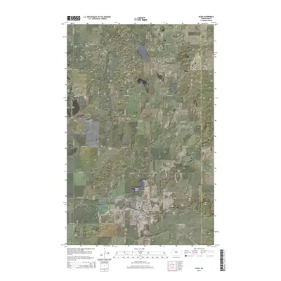
2014 Map of Tioga
USGS Topo · Published 2014About this map
Tioga serves as the focal point of this 2014 survey, positioned within a landscape increasingly defined by the energy industry. The Tioga Oil and Gas Field dominates the northeastern corner, illustrating the intersection of traditional High Plains agriculture and the modern Bakken oil boom. The town's layout is meticulously detailed, showing residential and commercial expansion near the Tioga Municipal Airport and Tioga Dam. Local history and genealogy are anchored by several established burial grounds, including Bakken Cem, Eastside Cem, and the clustered Hillside Cem and United Cem south of the town center. The map documents a sophisticated road grid, from the local street names like S Main St and N Benson St to the expansive rural sections defined by routes like 102nd Ave NW, providing a precise look at Williams County's development during this era.
Find a feature on this map
43 named features on this map. Tap any name to fly to it.
Don’t see what you’re looking for? This feature index may not catch every label — zoom into the map to look around manually.
Map Details
Editions of this 2014 Tioga Map
This is the sole edition of this map. No revisions or reprints were ever made.
Other maps of this area

1911 · Ray
USGS Topo · 1:125,000

1953 · Williston
USGS Topo · 1:250,000

1957 · Williston
USGS Topo · 1:250,000

1969 · White Earth
USGS Topo · 1:24,000

1974 · McGregor
USGS Topo · 1:24,000

1974 · Big Meadow
USGS Topo · 1:24,000

1978 · Battleview
USGS Topo · 1:24,000

1978 · Ray SE
USGS Topo · 1:24,000

1978 · Temple
USGS Topo · 1:24,000

1979 · Tioga SE
USGS Topo · 1:24,000