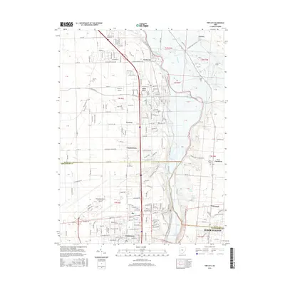
2016 Map of Tipp City
USGS Topo · Published 2016About this map
The Great Miami River carves a central path through this Miami and Montgomery County corridor, anchoring a landscape where historic river-town settlement patterns meet modern infrastructure. In the north, Tipp City remains the primary population center, surrounded by smaller historically distinct communities such as Ginghamsburg, Evanston, and Phoneton. The map reveals a dense network of local genealogy markers, including the Hyattsville Cem and Saint Johns Cem near the river, and the Poplar Hill Cem further south in Vandalia.
Find a feature on this map
238 named features on this map. Tap any name to fly to it.
Don’t see what you’re looking for? This feature index may not catch every label — zoom into the map to look around manually.
Map Details
Editions of this 2016 Tipp City Map
This is the sole edition of this map. No revisions or reprints were ever made.
Other maps of this area

1904 · Dayton
USGS Topo · 1:62,500

1905 · Brookville
USGS Topo · 1:62,500

1906 · Dayton
USGS Topo · 1:62,500

1911 · Covington
USGS Topo · 1:62,500

1914 · Troy
USGS Topo · 1:62,500

1944 · Covington
USGS Topo · 1:62,500

1944 · Troy
USGS Topo · 1:62,500

1953 · Cincinnati
USGS Topo · 1:250,000

1953 · Muncie
USGS Topo · 1:250,000

1955 · West Milton
USGS Topo · 1:24,000