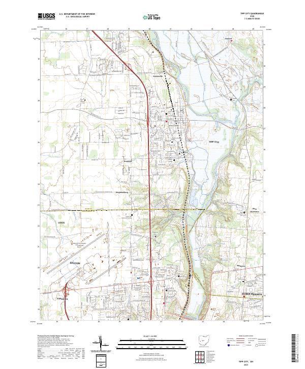
2023 Map of Tipp City
USGS Topo · Published 2023About this map
The Great Miami River corridor serves as the primary geographic axis for this portion of the Miami Valley, where the suburban expansion of Dayton and Huber Heights meets the long-established agricultural towns of Tipp City and West Charleston. The landscape is notably dense with burial grounds for genealogists to explore, including the English Lutheran Cem and Saint John's Catholic Cem near the river, and more remote plots like Pearson Cem and Kepper Cem. The southwestern corner is dominated by the sprawling infrastructure of the James M Cox-Dayton International Airport. To the east, the North Country National Scenic Trl follows the river valley, passing near the Taylorsville Dam Rd and local landmarks like Hart Pond and Owen Pond.
Find a feature on this map
59 named features on this map. Tap any name to fly to it.
Don’t see what you’re looking for? This feature index may not catch every label — zoom into the map to look around manually.
Map Details
Editions of this 2023 Tipp City Map
This is the sole edition of this map. No revisions or reprints were ever made.
Other maps of this area

1904 · Dayton
USGS Topo · 1:62,500

1905 · Brookville
USGS Topo · 1:62,500

1906 · Dayton
USGS Topo · 1:62,500

1911 · Covington
USGS Topo · 1:62,500

1914 · Troy
USGS Topo · 1:62,500

1944 · Covington
USGS Topo · 1:62,500

1944 · Troy
USGS Topo · 1:62,500

1953 · Cincinnati
USGS Topo · 1:250,000

1953 · Muncie
USGS Topo · 1:250,000

1955 · West Milton
USGS Topo · 1:24,000