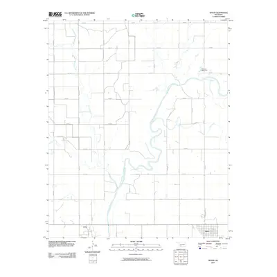
2010 Map of Tipton
USGS Topo · Published 2010About this map
Tipton serves as the primary hub in this southwestern Oklahoma landscape, positioned at the intersection of a strictly organized section-line road grid. The town's layout, centered around N Broadway Ave, reflects the region's agricultural roots and its adaptation to the meandering path of the North Fork Red River. This waterway and its tributaries, including Stinking Creek and Otter Creek, define the topography and irrigation patterns of Tillman County. Industrial activity is concentrated south of the town site at the Boucher Oil Field, where extraction infrastructure sits amidst the rural section roads. The map also documents modern water management at the Oknoname 065003 Dam, illustrating how the local environment is shaped for both resource extraction and flood control.
Find a feature on this map
27 named features on this map. Tap any name to fly to it.
Don’t see what you’re looking for? This feature index may not catch every label — zoom into the map to look around manually.
Map Details
Editions of this 2010 Tipton Map
This is the sole edition of this map. No revisions or reprints were ever made.
Other maps of this area

1955 · Lawton
USGS Topo · 1:250,000

1958 · Frederick
USGS Topo · 1:62,500

1958 · Elmer
USGS Topo · 1:62,500

1963 · Altus SE
USGS Topo · 1:24,000

1964 · Tipton SE
USGS Topo · 1:24,000

1964 · Altus
USGS Topo · 1:24,000

1964 · Tipton
USGS Topo · 1:24,000

1964 · Headrick
USGS Topo · 1:24,000

1964 · Long Mountain
USGS Topo · 1:24,000

1975 · Elmore City NE
USGS Topo · 1:24,000