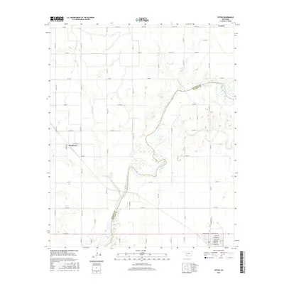
2016 Map of Tipton
USGS Topo · Published 2016About this map
The North Fork Red River forms a naturally winding boundary between Jackson and Tillman counties, defining the agricultural landscape of this southwestern Oklahoma region. In the early 21st century, the town of Tipton serves as a local hub near the southern edge of the map, situated just above the Base Line. The terrain is characterized by the convergence of significant drainage systems, including Otter Creek and the meandering path of Stinking Creek, which cut through a network of section-line roads like e1700 RD and N Broadway Ave. Smaller settlements such as Humphreys and Headrick anchor the rural survey, showing the persistent settlement pattern of the southern plains. This detailed mapping by the U.S. Geological Survey provides a precise view of the local infrastructure and watercourses as they existed in the mid-2010s.
Find a feature on this map
47 named features on this map. Tap any name to fly to it.
Don’t see what you’re looking for? This feature index may not catch every label — zoom into the map to look around manually.
Map Details
Editions of this 2016 Tipton Map
This is the sole edition of this map. No revisions or reprints were ever made.
Other maps of this area

1955 · Lawton
USGS Topo · 1:250,000
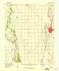
1958 · Frederick
USGS Topo · 1:62,500
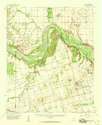
1958 · Elmer
USGS Topo · 1:62,500
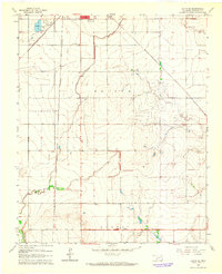
1963 · Altus SE
USGS Topo · 1:24,000
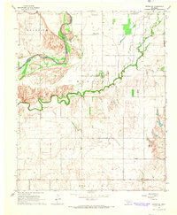
1964 · Tipton SE
USGS Topo · 1:24,000
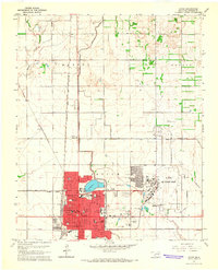
1964 · Altus
USGS Topo · 1:24,000
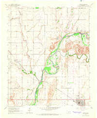
1964 · Tipton
USGS Topo · 1:24,000
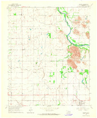
1964 · Headrick
USGS Topo · 1:24,000
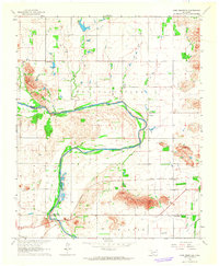
1964 · Long Mountain
USGS Topo · 1:24,000
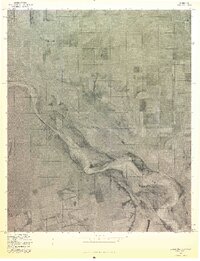
1975 · Elmore City NE
USGS Topo · 1:24,000